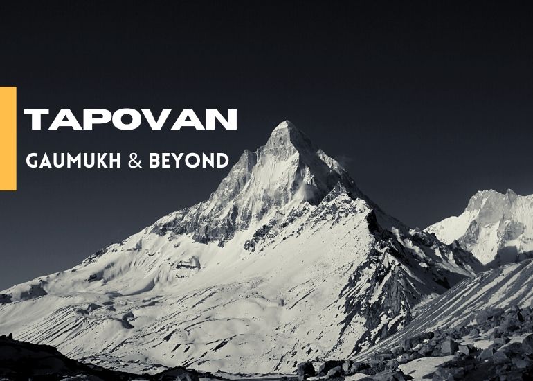
Gaumukh Tapovan Trek
6 Nights 7 Days Tour
Highlights
The Holy Trail
This has to be one of the most satisfying treks in the Garhwal Himalayas where you not only camp at the foot of lofty Himalayan peak but also cross the massive Gaumukh Glacier, the origin of Ganga River. The best way to put this trek in three words would be – the holy trail.
One of the sacred Char Dham, GangotriTemple is a key attraction of this trek.Gangotri is the place from where Bhagirathi River descends. It is situated at an altitude of 3,048mts above sea level and acts as the base camp of the trek to Gaumukh Glacier.
Gaumukh is the second largest glacier of India, first one being Siachen. Gaumukh Glacier is 30kms in length and approximately 4kms wide. The Himalayan peaks visible during this trek are Shivling, Meru, Bhagirathi sisters, Kharchkund & more.
The trekking route is open for trekkers and pilgrims from May to October.Gangotri National Park remains closed during winters as it is prone to heavy snowfall.
About Ganga
Ganga is not only considered as a sacred river in India but is also one of the holiest rivers of the world. Bhagirathi River is the most important tributary of the sacred Ganga River. GaumukhGlacier is the source of Bhagirathi River which is also referred as Ganga before its confluence with Alaknanda River at Devprayag.
Note: In recent times, the retreat of the glacier has quickened extensively. Major steps have been taken by the government of Uttarakhand towards this severe problem. Now only 100 persons can trek to Gaumukh each day.
Quick Facts
- Region: Garhwal, Uttarakhand
- Best Season: May to June End, September to October Mid
- Altitude Graph: 3048mts to 4,450mts
- Grade: Moderate
- Duration: 07 Days
- Total Trekking Distance: 57kms
- Temperature: as high as 29℃, as low as -06℃
- Places to Visit During Drive: Dehradun – Suwakholi – Chlianisaur – Uttarkashi– Harsil – Gangotri
Short Itinerary
Day 1: Dehradun – Gangotri (Drive – 255kms | 9 hrs)
Day 2: Gangotri – Chirbasa (Trek – 9kms)
Day 3: Chirbasa – Bhojwasa – Gaumukh Glacier View Point & Return (Trek – 12 kms)
Day 4: Bhojbasa – Tapovan (Trek – 10 kms)
Day 5: Tapovan – Meru Glacier – Tapovan (Trek – 9 kms)
Day 6: Tapovan – Chirbasa (Trek – 15 kms)
Day 7: Chirbasa – Gangotri (Trek – 9 kms)
Detailed Itinerary
Gaumukh – Tapovan Trek Itinerary
Day 1: Dehradun – Gangotri (Drive – 255kms | 9 hrs)
Uttarkashi is one of the major towns of Uttarakhand thus buses and shared cabs are easily available from Dehradun&Rishikesh. The massive Tehri Dam Lake also comes into view as you proceed towards Chilyanisaur. After a short break at Uttarkashi continue another 3 hours drive to reach Gangotri.

Gangotri Dham
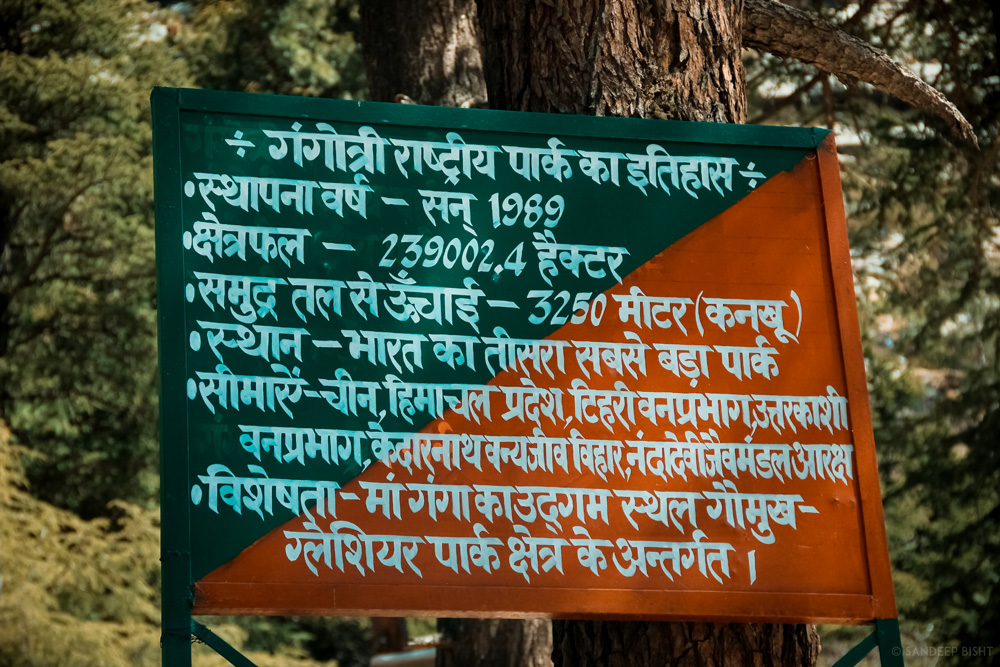
Kankhu Forest Check Post, 2km from Gangotri
Day 2: Gangotri – Chirbasa (Trek – 9kms)
Visit the sacred shrine of Goddess Ganga and buy all the necessary items from the market. The trek starts with a decent trail and it remains the same till further 2kms where you need to show permits. As you walk deep into the valley the vegetation also decreases. Continue trekking to reach Chirbasa which is situated 9kms from Gangotri Town. Cross small streams en route to Chirbasa. Chirbasa is a good campsite and the last point where you’ll see good vegetation. You can camp here if there are any signs of AMS. Chirbasa is situated at an elevation of 3,580mts above sea level.
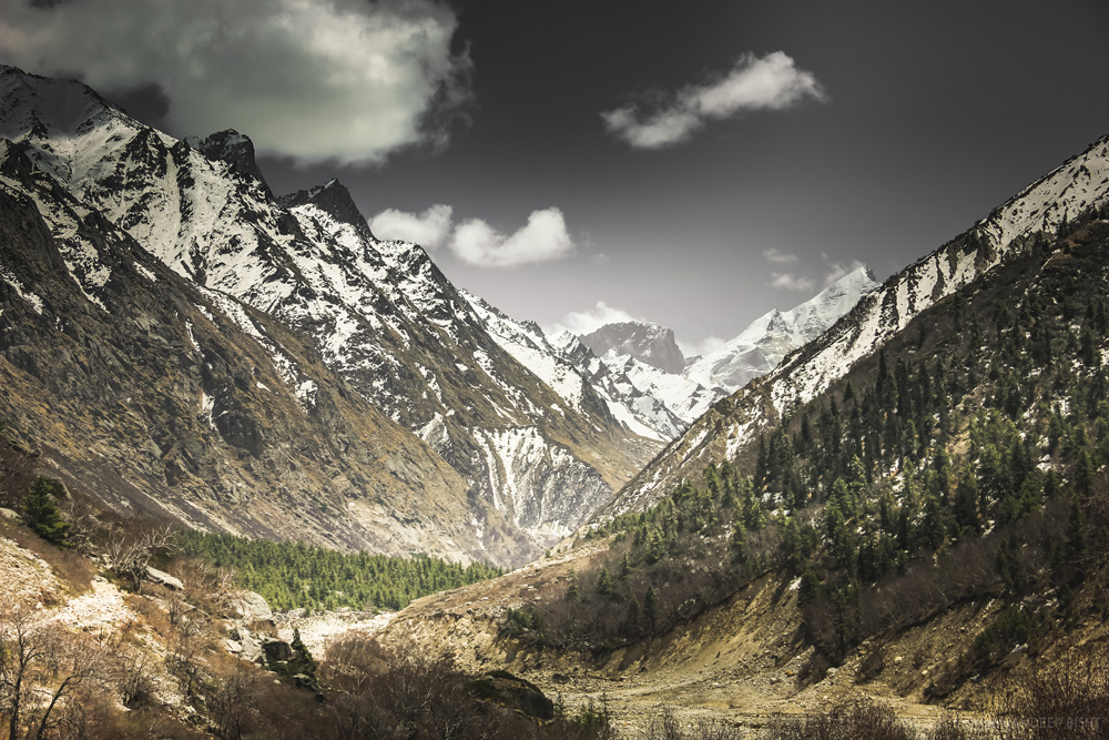
Distant view of Chirbasa
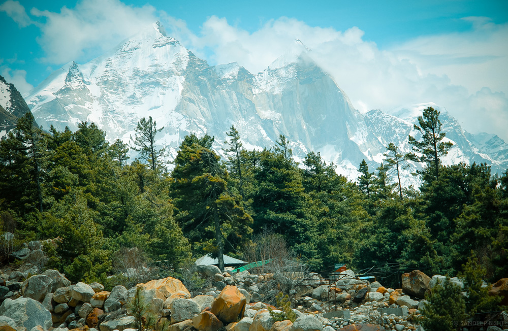
Chirbasa Campsite
Day 3: Chirbasa – Bhojwasa – Gaumukh Glacier View Point & Return (Trek – 12 kms)
Bhojwasa is located 5kms from Chirbasa. Bhagirathi Peaks stands high above the ground and is constantly visible during the trek. The trailnot only goes through rugged terrains along with the Bhagirathi River but also climbs up to rugged mountains. Bhojbasais a vast open expanse of land in the valley, situated at an elevation of 3,800mts above sea level.
There are two routes by which you can reach Tapovan. First one being the classic route via Gaumukh Glacier for which you need to follow the trail going to Gaumukh which can be seen on the left side from Bhojwasa. Gaumukh Glacier is 4kms from Bhojwasa. But due to recent collapse of the snout of the glacier it is in a delicate state. Visit Gaumukh Glacier and return to Bhojwasa in order to get acclimatized.
For later half of the day you can visit ashrams at Bhojwasa to perform aarti or stroll around the Bhagirathi River, gazing at Bhagirathi Peaks in total awe.
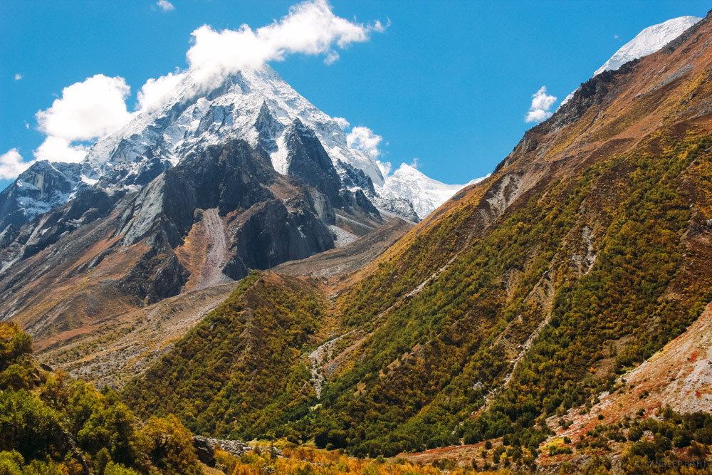
Gangotri National Park
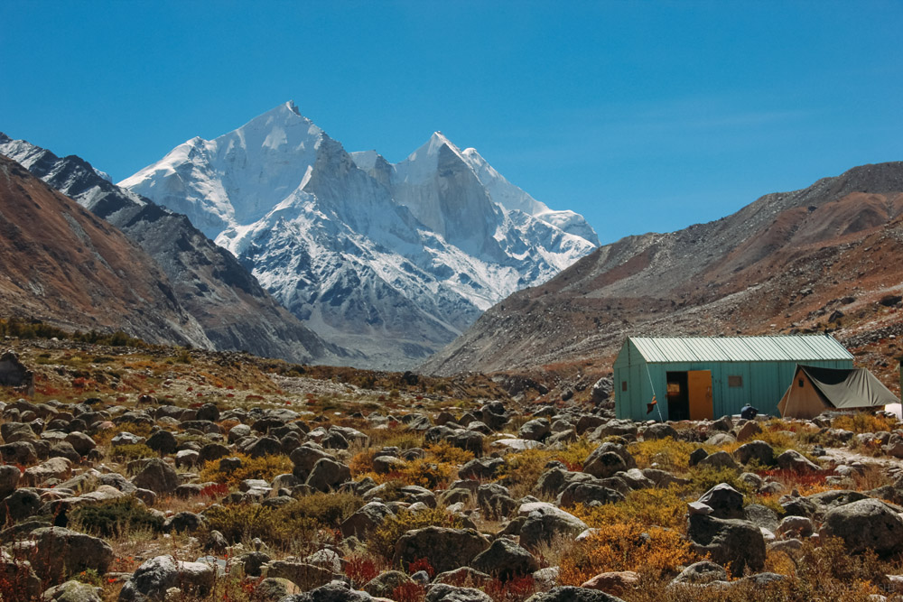
Bhojwasa Campsite
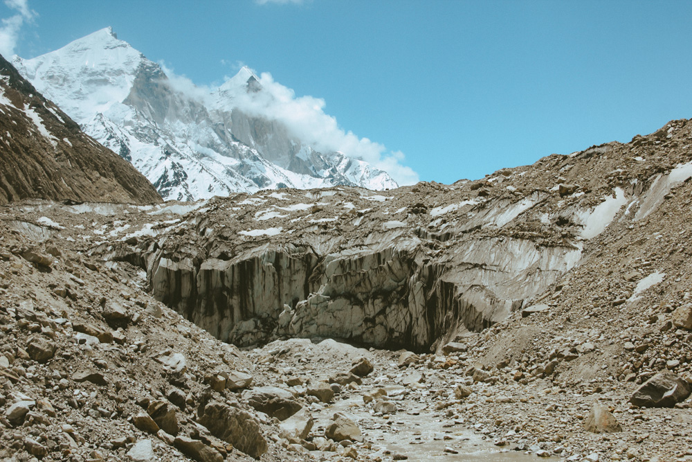
Gaumukh Glacier
Day 4: Bhojbasa –Tapovan (Trek – 10 kms)
The second route requires crossing Bhagirathi River from Bhojwasa itself. You need to walk on moraines for many kilometers with constant view of Gaumukh Glacier from distant. Climb the ridge covered with snow to reach Tapovan. Tapovan campsite is located at the foot of Mount Shivling (6,543mts), just a glance of this mountain is a priceless gift of this trek. And if Shivling peak is not enough then Kharchkund&Meru Peak will definitely leave you speechless. Tapovan is situated at 4400mts above sea level.
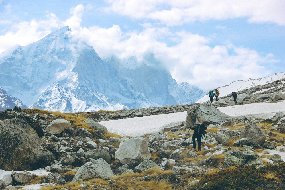
Alternate Trail to Tapovan
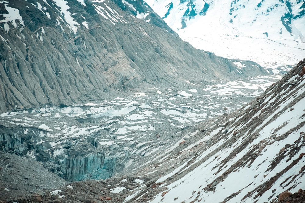
Gaumukh Glacier Aerial view
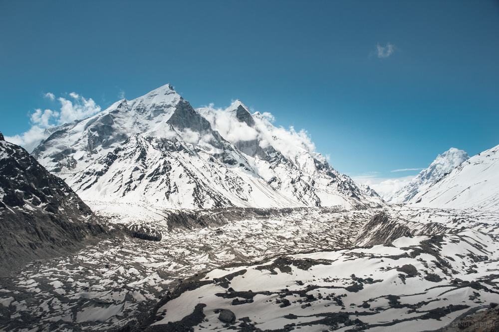
The wide expanse of Gangotri Glacier
Day 05: Tapovan – Meru Glacier – Tapovan (Trek – 9 kms)
There are couple of options to roam around for the day at Tapovan, you can either explore the highlands of Tapovan where Akash Ganga ceaselessly passes through the wide meadow overlooking Shivling Peak on right and Bhagirathi Peaks on left. Our personal recommendation for this day is an upclose view of Meru Peak. It takes around 3 hours of walk over moraines to reach the snout of Meru Glacier.
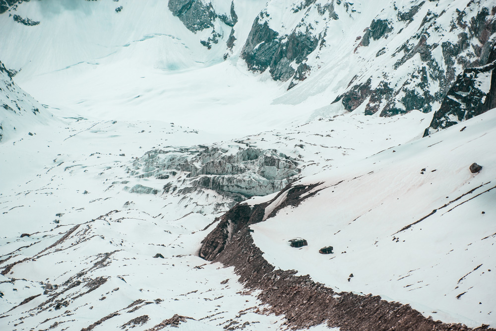
Meru Glacier
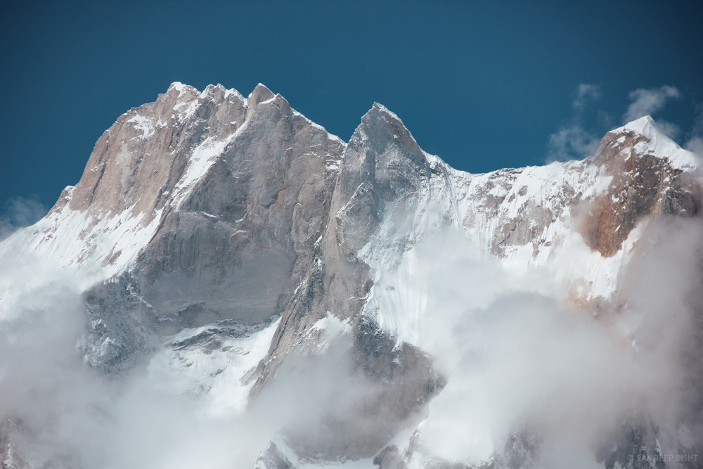
Meru Peak
Day 06: Tapovan –Chirbasa (Trek – 15 kms)
The trek starts off with rugged terrains and moraines. Descent on moraines will require extra attention from your legs while trekking. Trek slowly and take a break after you reach the snout of Gaumukh Glacier to experience its massiveness. This is the point where the holy Ganges emerges from, it all begins here. Further trek down to reach Bhojbasaand thereon to Chirbasa.
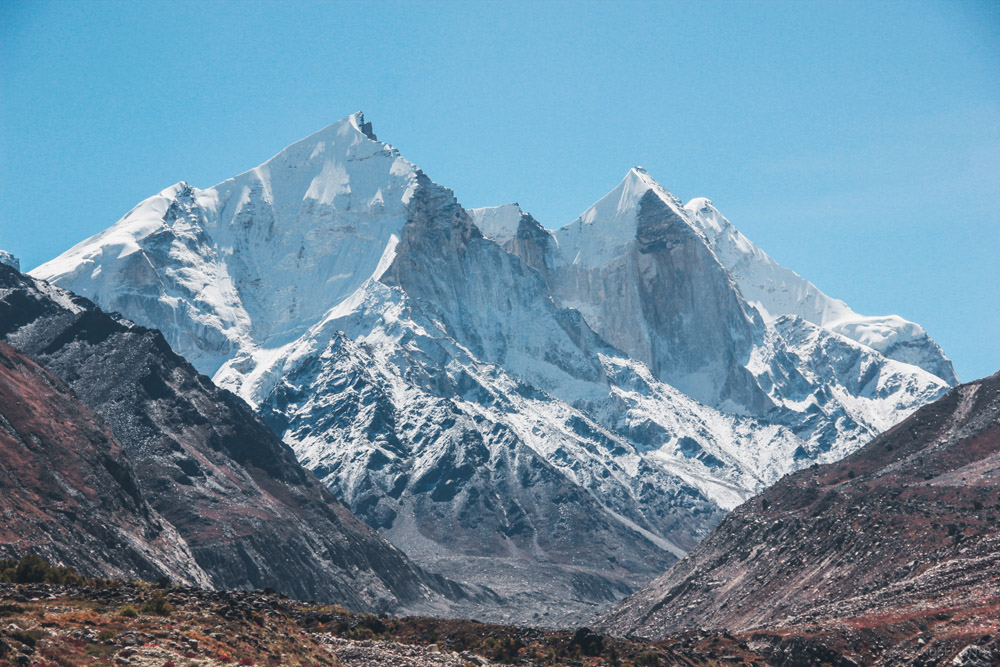
Bhagirathi Group of Peaks
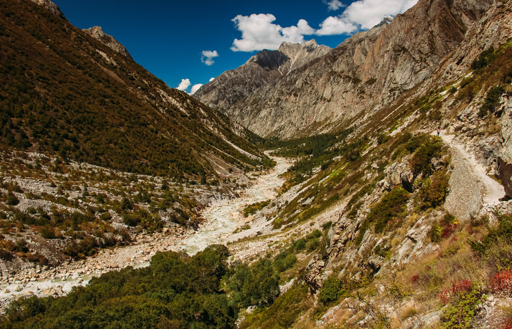
The route from Bhojwasa to Chirbasa
Day 07: Chirbasa – Gangotri (Trek – 9 kms)
Enjoy the last and kilometers of the trek from Bhojbasa to Gangotri. If you reach Gangotri at around noon and wish to continue traveling till Uttarkashi and thereon to Rishikesh or you can halt for the night somewhere in between .Harsil Valley is most recommended.
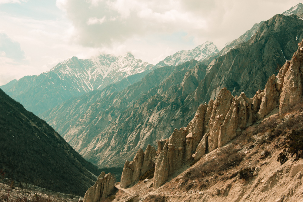
Unusual mud and rock formation on the way to Bhojwasa
Trek service ends after reaching Gangotri.
Inclusions
Exclusions
- Any sort of transportation
- Bag Offloading
- Any personal expense
- Travel Insurance
- Anything not mentioned in inclusions
- GST
Post Comments/Questions on “Gaumukh Tapovan Trek”